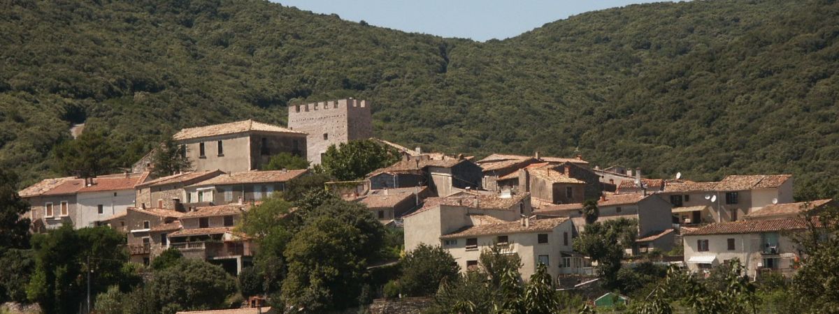
L'EstelierMairie de Caussiniojouls

Departure : Mairie de Caussiniojouls
- Park your car on the parking of the « Mairie » (town hall), where you’ll see a sign post indicating the beginning of the hike and the stone staircase which you go up.
- Go right at the path, then left at the barn and follow this path until you reach a large dirt track.
- Turn right onto it for a few metres then turn left to rejoin the path. Behind you, on your right, you can make out (on a clear day) the Pyrenees with the Mount Canigou, the plain of Béziers and on the horizon, the sea, the Cap d’Agde and Sète. To the left, the rocks of Cabrières and Montpellier.
- Follow the track until the “Cabane du Maréchal”, on your left, at the top of the hill (sommet du Pioch), there is a beautiful view point over the Orb valley and the Caroux.
- From the Pioch, go down the path, at the bottom of which you follow to the left.
- After a short ascent, turn left onto the path which leads to the village.
- Continue the path for approximately 40 metres then take the small path on the left where you can see the ruins of the chapel “Saint Bauzille”.
- Once back on the path, go down towards the village. You’ll see the “capitelle” (dry stone shelter) on the “Col des Fontètes” on your left, and on your right the Saint Bauzille sanctuary, which has been a pilgrimage since the ‘60’s.
- Go down to the village, where at the entrance of the village, you’ll see an old publicity panel. Take the small road which goes down to the left, turn left and right straight after.
- Pass above the tennis court and go down the staircase to end up in the car park.